Las Olas Isles Bridge Clearances and Yacht Access Insights
January 15, 2026
January 15, 2026
Will your yacht clear the next bridge when you leave your Las Olas Isles dock? In Fort Lauderdale, a few inches of air draft can decide your day on the water. If you want predictable, fast access to the ocean, you need a clear plan for bridges, depths, and routes before you buy. This guide explains how yacht access works in Las Olas Isles, how to estimate run times, and what to verify at each property so you can cruise with confidence. Let’s dive in.
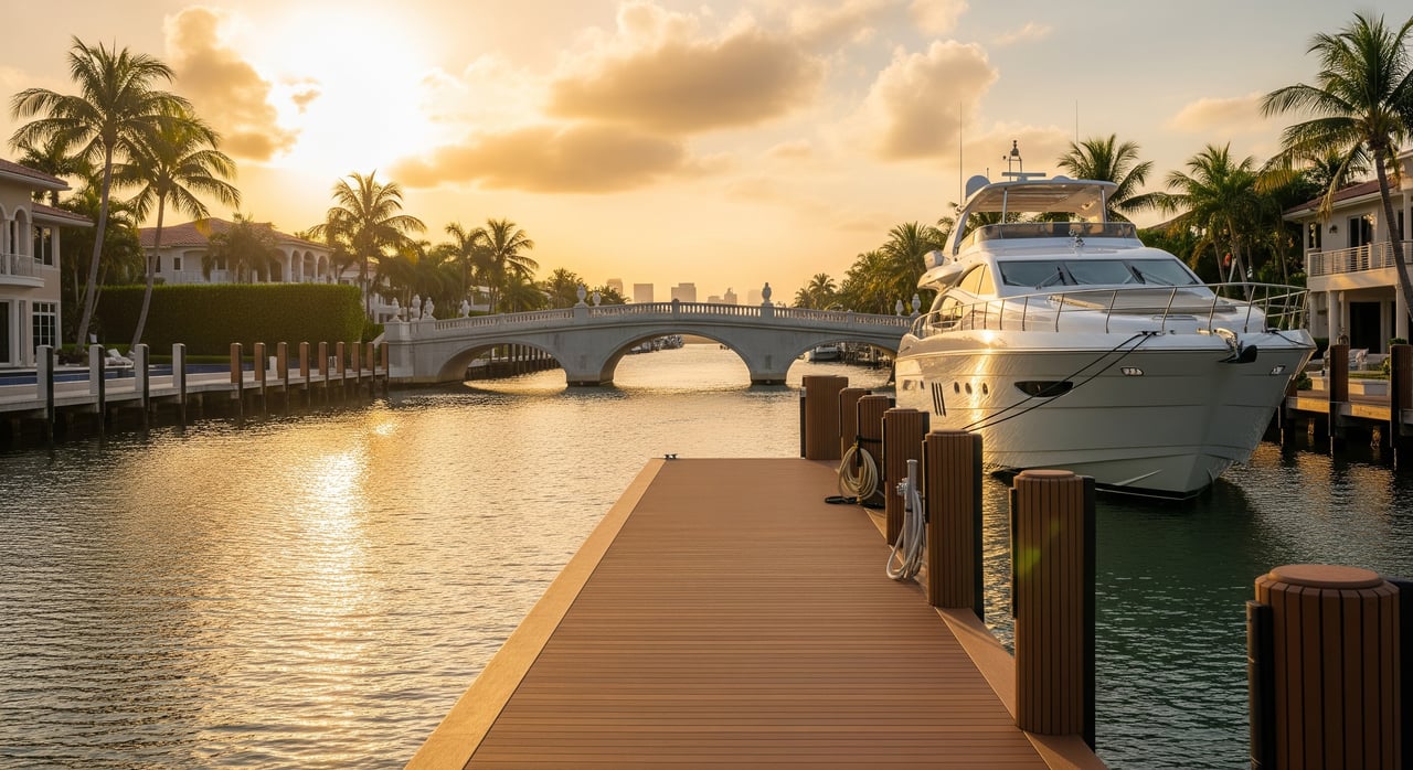
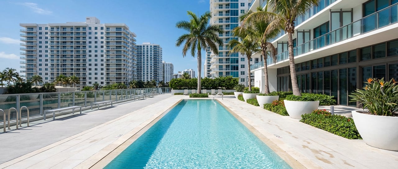
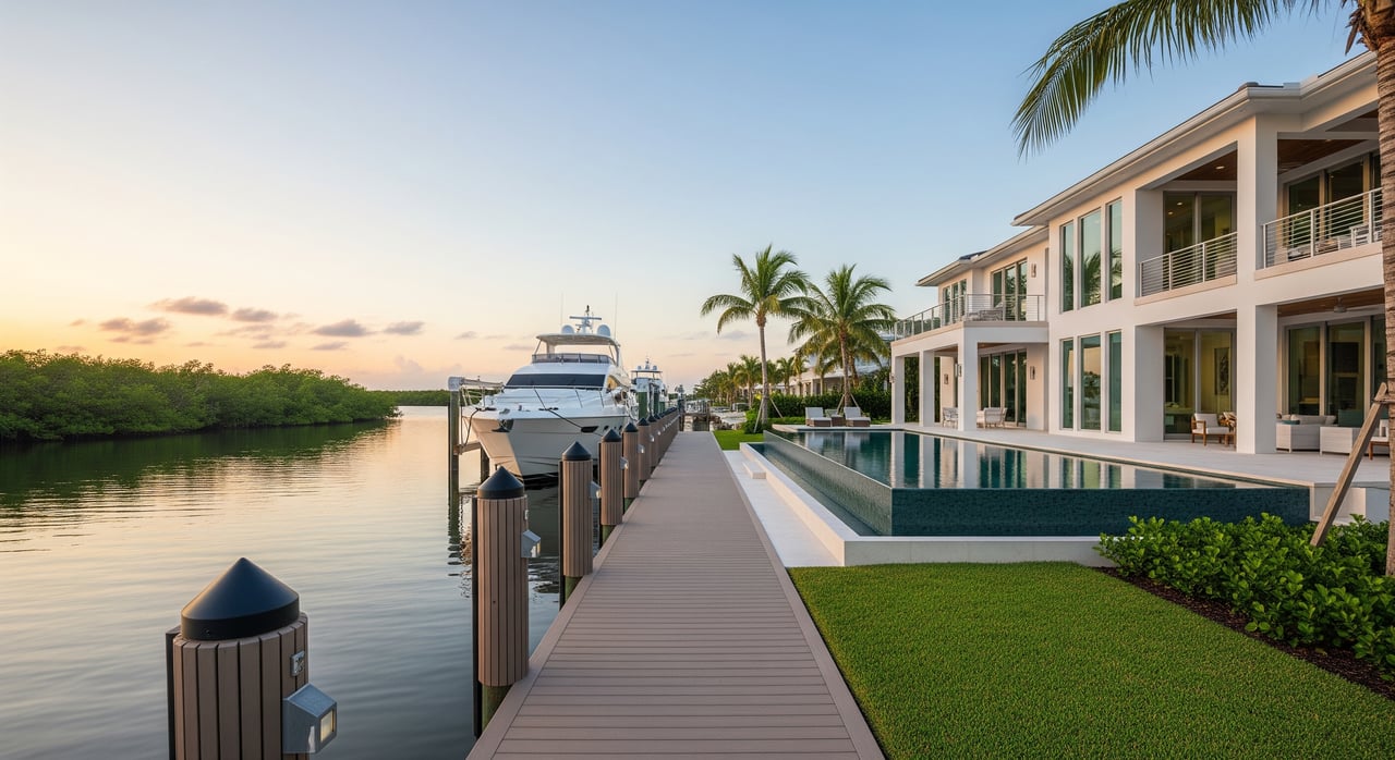
Las Olas Isles sits between the New River and the Atlantic Intracoastal Waterway. Most boaters reach the ocean by entering the ICW, then running to Port Everglades Inlet. You can also continue north on the ICW to other inlets, like Hillsboro Inlet, but that route is longer and can include more bridges.
Distances and run times vary by your exact dock location, chosen route, and speed. Inside canals and on the New River, you will encounter slow‑speed and no‑wake zones that add time. Expect some variability with tides and currents, and plan for safe maneuvering in narrow canal segments.
Use this simple method: run time (minutes) = distance (nautical miles) ÷ speed (knots) × 60. From a central Las Olas Isles dock to Port Everglades Inlet via the ICW, plan on roughly 2 to 4 nautical miles. To Hillsboro Inlet, expect roughly 8 to 11 nautical miles, depending on your path.
Here are example run times for a 3‑nautical‑mile leg:
Always verify your exact dock‑to‑inlet distance with a chartplotter and NOAA charts before you plan your day.
You will encounter two bridge types in the Fort Lauderdale area. Bascule bridges are movable drawbridges that open for vessel traffic. Fixed bridges have a published vertical clearance that does not change, apart from water level.
Your vessel’s air draft determines your options. Compare your air draft to the lowest fixed‑bridge clearance on your route. If your vessel exceeds that clearance, you must rely on bascule openings or choose a different route. Closed bascule clearances also matter because many vessels can pass without an opening when the bridge is down.
Horizontal clearance is another factor for larger yachts. In tighter canal bends and marina entrances, beam and turning room can be limiting. Plan conservative approaches in narrow sections and confirm width between fenders at bridges if you run a wide beam.
Many local bascule bridges open on request for recreational vessels. During rush hours or special events, some bridges operate on a schedule or have short delays to manage road traffic. Federal drawbridge rules live in 33 CFR Part 117, and each bridge publishes its specific operating procedures. Expect courteous but firm operations from bridge tenders, and be ready to hold position safely until you receive a clear opening signal.
For accurate clearance and operations, use authoritative sources:
Published clearances often reference mean high water, so the actual clearance can shift with tides and weather. Always verify the datum and check current water levels before you go.
Port Everglades channels are maintained for deep‑draft commercial vessels, so you will find robust depths in the main approach. Within Broward’s ICW, depths are maintained for recreational navigation but vary by segment, often in the single digits to low teens of feet. Private residential canals can be shallower, especially near the ends of isles.
Shoaling can occur near inlets, canal mouths, and along the ICW after storms. While the local tidal range is modest, even a foot of water level change can help or hinder under‑keel clearance. If your vessel draws more than 4 to 5 feet, consider arranging a private sounder survey at a prospective dock before you commit.
Southeast Florida’s tide swings are smaller than in northern waters, but they still affect both depth and air clearance beneath bridges. Published bridge heights tied to mean high water can differ from what you see on a given day. Use NOAA tide predictions to plan marginal passages and add a safety margin for seasonal or weather‑driven water level changes.
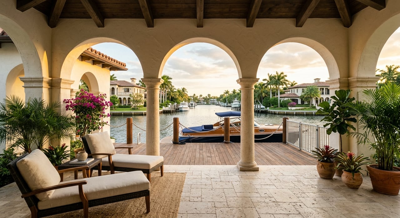
Narrow canal turns, fixed piles, and low fixed bridges inside residential canals can limit larger yachts even when slip length looks adequate. Confirm that the canal width, turning radius, and channel markers suit your vessel. Observe local speed limits and no‑wake zones, especially on the New River, where tight quarters and traffic require patience.
Bring your vessel data to every showing so you can evaluate a dock on the spot.
Essential vessel specs
Questions to ask at each listing
Operational checks during tour
Administrative checks
Ready to align your Las Olas home search with your boating needs? Get local, on‑the‑water guidance and a tailored shortlist of properties that fit your vessel. Connect with Jaime Cristancho to plan your next move.
Stay up to date on the latest real estate trends.


Embark on a seamless real estate journey with Jaime Cristancho. From initial consultation to closing, we’re here to listen, guide, and help you achieve success in every step of your South Florida property journey.
1209 E LAS OLAS BLVD FORT LAUDERDALE FL 33301